My last blog ended with this advice: Be humble, be uncertain, and the life you save may be your own. You should embrace uncertainty as much as you can. It may sound counterintuitive, but it can help your decision-making process much more than misplaced overconfidence ever will.
Hurricanes are very complex systems, existing within and interacting with a much bigger and even more complex system — Earth’s atmosphere. The science of forecasting hurricanes has steadily improved, as has weather forecasting in general. But it will always have distinct limitations since there are a lot of moving parts involved. We don’t know everything, let alone understand it.
The moving parts that are the most concerning in any given storm are its track, speed-over-ground, wind intensities (maximum sustained winds and gusts, overall and by quadrant), and size and shape of the wind field (further subdivided by strength: tropical storm or hurricane force). The last concern, should you be forced to ride out a near or direct hit in port, is the storm surge at landfall. The aforementioned moving parts are all asymmetric, constantly changing variables affected by numerous other constantly changing variables within the broader atmospheric system. So, it’s diabolically complicated.
Despite these known and unknown complications, the standard navigational doctrine for any vessel at sea is simple: whatever you do, avoid the tropical storm force (and above) wind field and especially the right front quadrant of the dangerous semicircle for a Northern Hemisphere storm. Failure to do this may result in injury to your crew, damage to your vessel, damage to or loss of cargo, or all three. It may also be lethal.
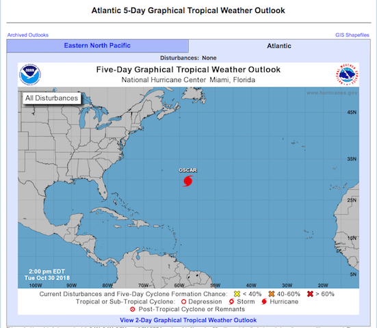
One of the tools used to aid navigation is the National Hurricane Center’s Five-Day Graphical Tropical Weather Outlook. It includes the familiar five-day forecast cone for any active cyclones. Known as the cone of uncertainty, cone of probability, error cone, and even the cone of death, this is the funnel-shaped graphic that shows the predicted path of the storm’s center … sort of.


