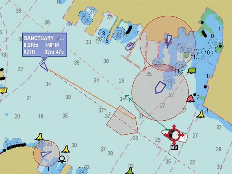
Among the topics at the Worldwide Ferry Safety Association's (WFSA) 2018 Ferry Safety & Technology Conference held in New York this spring was real-time weather data's inclusion in automatic Identification systems (AIS).
Dr. Roberta Weisbrod, WFSA’s executive director, highlighted the importance of automatic inclusion of real-time weather data as part of AIS transmissions during one conference session. The work being developed by automatic identification systems and weather experts "can improve safety for mariners, saving lives with updated local weather information transmitted through AIS,” she said. “Such a system of automatically collected and transmitted real-time weather information could vastly improve understanding of ocean and hence global weather.”
A central message from AIS presentations at the conference were that its uses are extending far beyond the original intent — collision avoidance by vessels in motion. David Hewson, antenna network manager at Genscape Maritime, suggested that “big data” could be used to harness vast numbers of AIS messages coming into his company's Vesseltracker AIS system to identify (and sound alarms in advance of) events that might result in accidents involving ferries. Examples include situations where vessels were on collision courses, or vessels that were identified as being out of control, based on the pattern of their speed and movements. Forensics, the investigation of accidents or near misses, using Vesseltracker’s vast repository of historical data, were also described.
Looking ahead, deployment of AIS to aid in reporting of weather is also on the horizon. Former tug captain Joe Sienkiewicz, branch chief with NOAA's Ocean Prediction Center, said that automatic reporting — as described by Dr. Weisbrod — would be a new paradigm, one that could provide often missing feedback to NOAA on forecast accuracy, while aiding safety simply because it would provide a trove of additional observations in real time (or nearly so). Importantly, the suggestion for a “proof of concept” experiment with such transmissions was contained deep within the recently released National Transportation Safety Board (NTSB) report on the El Faro incident.
Sienkiewicz’s presentation was complemented by Dr. Catherine Lawson's, an expert on geographical applications of big data at the State University of New York at Albany. Dr. Lawson has stitched together weather data along roadway networks. She talked about the challenges inherent in creating weather models where sensors are not stationary, as would be the case on moving vessels. The idea of marrying weather reporting with AIS transmissions is not pie in the sky stuff. Dr. Lawson noted that Washington State Ferries has been engaged in a mobile weather station program, albeit through an existing fleet tracking system using VHF packet transceivers.


