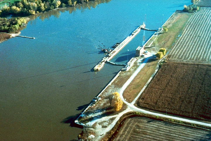
A study focusing on just four heartland lock and dam locations found each provides more than $1 billion in annual transportation savings – a snapshot into the danger of mounting costs when inland waterways experience unexpected closures.
Transportation study groups at the University of Tennessee and Vanderbilt University produced the report titled “The Impacts of Unscheduled Lock Outages”, with sponsorship from the National Waterways Foundation and U.S. Maritime Administration.
The analysis starts with the broadly recognized concern that the U.S. inland waterway system has fallen far behind in infrastructure repairs and renovations. But then it takes a deep dive into four key navigation structures, from the upper Mississippi to the Gulf coast, to break down exactly what each contributes to the economy – and what will be lost if they break down.
Coming at a time when there has been little progress toward the Trump administration’s early call for a renewed commitment to waterway infrastructure, the findings will help industry advocates make their case.
The report stresses the follow-on costs of navigation breakdowns, including surging demand for rail transport, losses to farmers, and unsustainable increases in truck traffic on highways.
To take one example, the study found that an unplanned closure at the LaGrange Lock and Dam at Versailles, Ill., would affect commerce for 135 counties in 18 states, “threaten the nation’s primary path for soybean and corn exports,” cost $1.7 billion in additional transportation costs, and reduce farm-related incomes by $2.1 billion.

A graphic shows commodity flows from LaGrange Lock and Dam to other points on the inland waterways. Image courtesy National Waterways Foundation.
Along with LaGrange, the southernmost navigation structure on the Illinois River, the study examined Markland Locks and Dam on the Ohio River, near Cincinnati; Calcasieu Lock on the Gulf Intracoastal Waterway in Louisiana; and Lock and Dam 25 (L&D25) on the Mississippi River, immediately north of St. Louis.
The analysis details the cargo streams moving through each structure, and how those connect to parts of the waterway network and the larger regional and national economies. Markland is dominated by coal, while LaGrange and L&D 25 are major grain pathways, and Calcasieu traffic is primarily petroleum and chemical products.
“These four locks support traffic on every segment of the Mississippi River system. Most of the traffic at LaGrange and L&D 25 flows the length of that main-stem and makes relatively lesser use of tributaries or intermediate terminal locations,” the report notes. “By contrast, both the Ohio River coal traffic and, to a lesser degree, the traffic flows through Calcasieu routinely involve origins and destinations that are located along system tributaries or at intermediate spots between major terminal regions.”
That also means a major outage at any one structure can shock the system along hundreds of miles.
“Unfortunately, the connectivity of the system also creates vulnerability, and this study documents and illustrates the magnitude of the impact from the prolonged loss of any single lock and dam project,” the authors note.
“If an unscheduled and extended outage were to occur at any of the four locks analyzed here, the impact would reach across all of the states served by the system and cause billions of dollars in economic harm to shippers, the commerce that depends on those shippers, and the communities that rely on this substantial business activity.”
The study concludes:
“Each of the four locks considered within the study helps shippers to avoid more than $1 billion in additional transportation costs each year.
“The important roles played by individual navigation projects span a broad range of both geographies and economic purposes, and in some cases provide freight mobility that could not be easily replaced by other transport modes.
“While every state that originates or terminates traffic supported by the four locks benefits from inland navigation’s availability, the results reflect the waterway’s extraordinary commercial value to Louisiana, Texas, and Illinois.
“In the cases of LaGrange Lock & Dam and Lock & Dam 25, trucking to alternative waterway locations would mean an additional 500,000 loaded truck trips per year, and an additional 150 million truck miles in the affected states. This is not tenable.”


