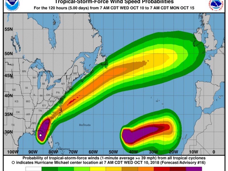
As we enter the final stretch of the Northern Hemisphere’s official hurricane season, I warily check the latest weather reports and the twice-daily tropical planner. I keep a sharp eye out for two words I don’t want to see: “rapidly intensifying.” Specifically, I want to know how these words relate to low pressure systems and, in particular, tropical systems or cyclones.
My thinking has evolved on how the threat of a tropical cyclone should be dealt with. Lately I’m a lot more concerned with a weather system’s potential development into a hurricane and how quickly that may occur than I am about its present state. I began to change the way I thought about this a decade ago. That’s because it appeared that the frequency with which these events were occurring was gradually but noticeably increasing.
The National Hurricane Center defines rapid intensification as an increase in the maximum sustained winds of a tropical cyclone of at least 30 knots in a 24-hour period. It’s the most difficult aspect of a storm to forecast and arguably the most dangerous. Rapid intensification, in general, is fueled by increasingly warmer ocean temperatures, the associated warm and moist air, and favorably low wind shear conditions. This often yields major hurricanes (Category 4, 136 mph to 156 mph; or Category 5, 157 mph or above). As the term suggests, it gives everyone less time to prepare for the related extreme conditions, and when it occurs shortly before landfall it is especially dangerous.
A recent example of this phenomenon occurred in 2017, when we had four such storms: Harvey, Irma, Jose and Maria. Hurricane Maria, which inflicted severe damage in the Caribbean, exploded from a Cat 1 to a Cat 5, almost doubling its wind speed in under 24 hours. It was just 15 miles from landfall on Dominica when it reached Cat 5, becoming the first Cat 5 on record to strike the island. In 2016 Hurricane Matthew went from a tropical storm to Cat 5 in only 36 hours before devastating Haiti.
Do your voyage or in-port hurricane plans fully take this possibility into account?


