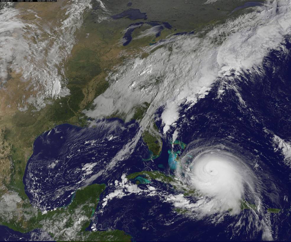
In my blog last month I discussed using multiple sources and/or means of getting your weather information, particularly those related to tropical cyclone reports and forecasts. You don’t want to be left in the dark at a critical time when you are trying to avoid a cyclone. Maps are first on the must-have list.
Humans are generally geared to understand and respond to information presented graphically, so looking at weather maps is most people’s first choice. Today that means that good internet connectivity is a must for timely access to the information needed in order to make good weather decisions, or salvage a situation that could get seriously worse.
If you know how to read, interpret and make decisions based on both the surface and the 500-mb upper level weather charts available at NOAA’s Ocean Prediction Center (just click the tabs for Atlantic and Pacific Marine across the top of the map), it will put you on another level in your ability to use meteorological science to your advantage. If you are able to learn it on your own, “Heavy Weather Avoidance and Route Design: Concepts and Applications of 500 Mb Charts” by Ma-Li Chen and Lee Chesneau, is the best book I know of. Also, you would be well served by taking an advanced meteorology course.
As a backup, those same maps are broadcast via radiofax on HF frequencies that you can receive with your SSB radio and various combinations of hardware, software and a PC. You can get all the info at http://www.nws.noaa.gov/os/marine/radiofax.htm and give yourself another way to stay well informed. There’s also NAVTEX, and good old-fashioned voice weather broadcasts over VHF-FM and SSB frequencies.
Years ago, I used a mini tape recorder to record the scheduled HF forecasts while they were being transmitted, rather than waiting for the offshore zones I needed to come on then furiously scribbling notes that I hoped were accurate. Today you can just use your smartphone to record them.
And when it comes to tropical cyclones, regularly plotting them on a small-scale chart is the most prudent thing you can do. In our satellite age, you don’t ever want to be confused about their exact location.


