


Heavy rain in the Midwest has prompted navigation restrictions and raised the possibility of river closings around St. Louis and farther south.
Over the past several days, 6"-10" of rain has affected the Missouri, Upper Mississippi and Illinois river basins, with two or more inches expected mid-week.
Around the St. Louis area (MM 184-179) the Coast Guard said southbound tows greater than 600' — excluding the towing vessel — should limit transit to daylight hours only, and northbound tows must have enough horsepower to maintain a minimum speed of 3 mph approaching the harbor bridges. They also recommend that all towing vessels have a pilot onboard with recent high water experience and towing vessels have a minimum of 250 hp for each loaded barge.
“The river is open. It’s going safely at this point,” Lynn Muench, St. Louis-based senior vice president — regional advocacy for the American Waterways Operators (AWO) said midday Monday. Anticipating closures, “our guys are trying to get things through as safely as possible.”
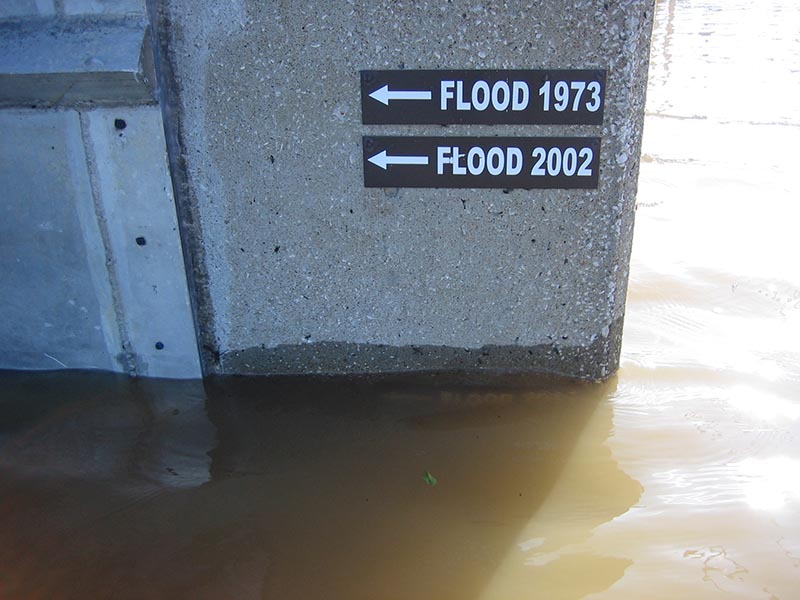
The water is producing a patchwork of broken records, though it is not expected to top the winter floods of 2015-16, especially at Cape Girardeau, Mo., and Thebes, Ill., said Russell Errett, hydraulic engineer with the U.S. Army Corps of Engineers in St. Louis.
The Mississippi River may be closed in the Cape Girardeau area this week because of concerns about wakes overtopping the levees.
The National Weather Service predicts the river at Cape Girardeau will crest on Saturday (5/6) at 48.5', just below the record 48.86' set Jan. 2, 2016, and 48.49' on Aug. 8, 1993. Flood stage is 32'.
The Jerry F. Costello Lock & Dam on the Kaskaskia River at Modoc, Ill., closed at 6 p.m. Sunday night with a reading of 381.5'. It’s not uncommon for that lock to close because machinery must be pulled out, a corps spokesman said. It’s typically shut at 380.5'.
“We are looking at potentially closing portions of the St. Louis harbor for up to a day or two,” said Coast Guard spokesman Lt. Sean Haley. “The water level is rising” and was above 35’ late Monday approaching the 38’ tipping point. They expect the river to crest Wednesday at 40’.
As of earlier Monday, there had been no barge breakaways or other mishaps.
“We’re obviously preparing for the increased rise,” said Jack Haskell, vice president of logistics, Blessey Marine Services Inc., Harahan, La. “We have a high water action plan of our own that is being implemented in all areas affected.” They had a tow getting ready to travel through St. Louis Monday night and were assessing the situation.
“All operational groups are talking every day,” Muench said.
The emergency communications and coordination are part of a system developed by the waterways’ major players including the river industry, the corps, the Coast Guard and the weather service. The drought of 1988 that caught everyone flatfooted and a fatal towboat sinking in high water on the Ohio River in 2005 led to the birth of two key components: the River Industry Executive Task Force (RIETF) and the Waterways Action Plan (WAP), which kick in when the going gets rough.
The action plans, which Muench has called “our guiding light,” spell out restrictions as water levels change and hit certain trigger points.