A user survey to help assess aids to navigation, hazards and other conditions on the Upper Potomac River began this week as part of a Coast Guard waterways analysis.
The review focuses on the area’s aids to navigation system, waterborne commerce, marine casualty information, port/harbor resources, emergency response plans, routine and emergency communication capabilities, and future development projects. A survey form is available online for mariners and others interested in the river to fill out and submit to the Coast Guard.

A graphic illustration of where U.S. Coast Guard Sector Maryland-National Capital Region in Baltimore will be conducting the Waterways Analysis and Management System on the Potomac River throughout the months of April-June. Coast Guard image/PO1 Andrew Kendrick
It is part of the Coast Guard Sector Maryland-National Capital Region’s Waterways Analysis and Management System review of the river south of Washington, D.C., now ongoing from April through June 2019, to improve maritime efficiency in the area.
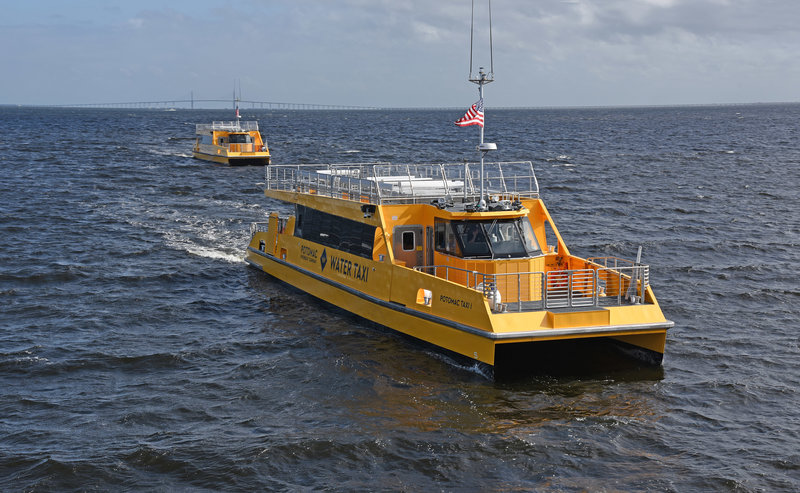
The river carries government vessels, marine transportation and increasingly passenger service, as ferries provide an attractive commuter alternative to the congested highways linking Virginia, the District of Columbia and Maryland.
There is heavy recreational use of the river too. Recently the Coast Guard issued an interim rule creating a 250-yard transit lane past the Trump National Golf Club in Potomac Falls, Va., as a compromise measure to accommodate river users and Secret Service security needs when President Trump is at the club. Earlier restrictions had drawn protests from kayakers, boat livery operators and others.
The analysis will cover the following stretch of the Upper Potomac River from Hains Point Junction Lighted Buoy HP (LLNR 18705), which is near Washington, to the Governor Harry W. Nice Memorial/Senator Thomas "Mac" Middleton Bridge (Route 301).
An interested organization, company, or individual can provide comments or participate in a user survey by filling out the form available online and emailing document to Sector Maryland-National Capitol Region Waterways WAMS at [email protected] or mailing it to: Commander USCG Sector Maryland-NCR 2401 Hawkins Point Road, BLDG 70 Baltimore, MD 21226-1791.


