


The use of digital charts and charting systems aboard workboats of all types and sizes in North America has become so widespread that it is considered standard operating procedure.
But a critical question remains unanswered. Is the digital literacy and skill set required of mariners to effectively use and administer digital charting systems equally widespread and of sufficient depth? Using history as a guide, technological advances are normally well out in front of users, and the resulting knowledge gaps can be large and potentially dangerous.
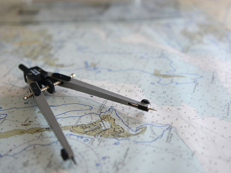
As every good deck officer knows, all paper charts and publications must be kept as accurate and up to date as possible.
To that end, Ocean Charting Services has been providing invaluable assistance to time-pressed deckies, particularly for coverage of large geographic areas. Crucially, the structure of the company’s documentation system also provides easily verifiable proof that everything is or isn’t being done, as it should be, whether for internal or external auditing purposes. In oil transportation more stringent vetting is a given, and audits are how it gets done. OCS said its estimated charges range from $70 per month for a harbor assist tug with a few charts onboard to $400 per month for a vessel with several hundred charts (e.g. Brownsville, Texas, to Bucksport, Maine) and many publications.
Thus, any digital charts that are actively used in navigation should be kept current as well, at least to the same standard as paper charts. There must also be a systematic way of documenting it, particularly since digital is now usually the primary system with paper as backup. But digital chart corrections (updates) are typically a partly or mostly automated process particular to the navigation program being used. An untrained mariner, or one unfamiliar with a specific program, may not fully comprehend it or even be aware of it. Documentation of the updates, even if they are being done, may be nonexistent.
If you hop aboard a vessel as a temporary relief master, you still assume full responsibility for everything on board, including the tools of navigation. How do you ensure your e-charts are ready to go before you shove off?