


I’ve used the two primary non-ECDIS electronic charting and navigation software programs geared towards the workboat market, Nobeltec and Rose Point, for years. During this time, I have had to learn basic electronic charting 101 and more from a manual, teach it to others, and come up with an effective system for regularly handling and documenting e-chart updates.
It’s always a mistake to assume that users of a given technology completely and thoroughly understand it. Electronic charts are no exception.
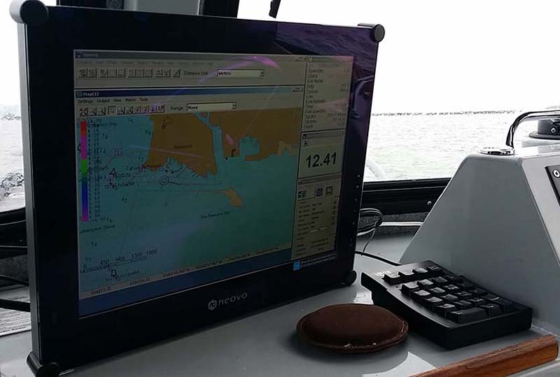
A complete understanding of the functional differences between raster and vector charts is fundamental to their proper use, yet that knowledge is far from universal among mariners. Nobeltec and Rose Point utilize both raster and vector charts, but have their own distinct methods of performing updates. Formal training can be very helpful. However, particularly in this case, only if it involves learning and training on the actual system that will be used.
Rose Point says its software “improves operational efficiency, situational awareness, and decision making with straightforward, uncluttered displays and controls that provide instant access to the information professional mariners and fleet operators need to navigate safely.”
For this to occur, users of the software need to go beyond just general theories of e-navigation and learn the step-by-step specifics of how to fully utilize their specific system.
When updating e-charts for Rose Point, are you aware that those updates can be done automatically via wireless internet? And are you aware that this typically means that only the vector charts will be updated? That would be fine if you were aware of this and only used vector charts. But it does little good to update your vector charts if you routinely use raster charts for navigation and are unaware that they aren’t being updated too. What you don’t know can hurt you.
This potential unintended use of old charts can be easily avoided by downloading the weekly updates for both chart types from NOAA onto a USB drive from a fast shoreside internet connection. Once you do that, it can be brought on board for manual transfer into the marine navigation software your boat uses.