


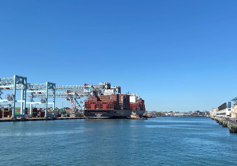
The National Oceanic and Atmospheric Administration (NOAA) has installed a new Physical Oceanographic Real-Time System (PORTS) in Boston Harbor, adding real-time environmental data to support navigation in one of the nation’s busiest ports.
The Boston Harbor PORTS was established in partnership with the Massachusetts Department of Environmental Protection and marks the 41st installation in NOAA’s nationwide network of public-private PORTS programs.
“Boston Harbor is a vital gateway for economic activity in the United States,” said Neil Jacobs, NOAA administrator. “I am proud of NOAA’s dedication to developing and deploying systems that ensure navigational safety and enable more efficient commerce through our nation’s ports and waterways.”
The system includes observational equipment at Massport’s Conley Terminal and on the Tobin Memorial Bridge over the Mystic River. It consists of one current meter and one meteorological station collecting wind, air temperature and barometric pressure data. A new air gap sensor will also be installed at the bridge to provide real-time clearance information for vessels transiting beneath it.
Data from NOAA’s existing National Water Level Observation Network station in Boston Harbor will also be integrated into the new PORTS.
NOAA officials said the system is intended to help mariners better manage transit timing and under-keel clearance as ship sizes increase and traffic volumes grow.
“Boston Harbor PORTS will help mariners safely navigate shipping routes and make better, more efficient schedules supporting the resilience of our nation’s supply chain,” said Nicole R. LeBoeuf, director of NOAA’s National Ocean Service. “Through this effort, we will help support economic prosperity in the region while reducing risks to life, property and the coastal environment.”
Boston Harbor, established in the 1600s, is Massachusetts’ primary seaport and the nation’s third-busiest cargo port by tonnage, handling more than 2.3 million tons annually. Conley Terminal is the only full-service container terminal in New England and connects the Northeast to international markets.
PORTS systems combine real-time environmental observations with forecasts and geospatial data to support vessel operators, pilots and port authorities. NOAA officials said the systems have helped reduce collisions and groundings in ports across the country by providing timely information on currents, water levels, weather and bridge clearances.
With the Boston installation, commercial operators in the harbor now have access to localized, continuously updated data intended to improve safety and operational planning in a port that supports more than 66,000 jobs across New England.