


The Department of Homeland Security (DHS) Science and Technology Directorate (S&T) announced today that it is delivering a harmonized geospatial dataset of national waterways to all federal agencies that make up the U.S. Committee on the Marine Transportation System (CMTS).
The “Harmonized Waterway” project and the delivered dataset will enable enhanced delivery of critical Marine Safety Information (MSI) to mariners in U.S. waters, as well as improve interagency coordination to advance federal waterways management, the DHS said. The Coast Guard will host and maintain this geospatial dataset and make this information available online, at no cost to the public. In addition, waterways managers/planners, industry leaders and researchers will have a new tool to help study and monitor our national waterways.
“The Harmonized Waterway dataset will make it possible for anyone using U.S. waterways — from ships engaged in international trade and commercial fishermen, to recreational boaters — to go online to find the navigational information they need to sail in U.S. waters,” said Dr. Dimitri Kusnezov, DHS undersecretary for science and technology.
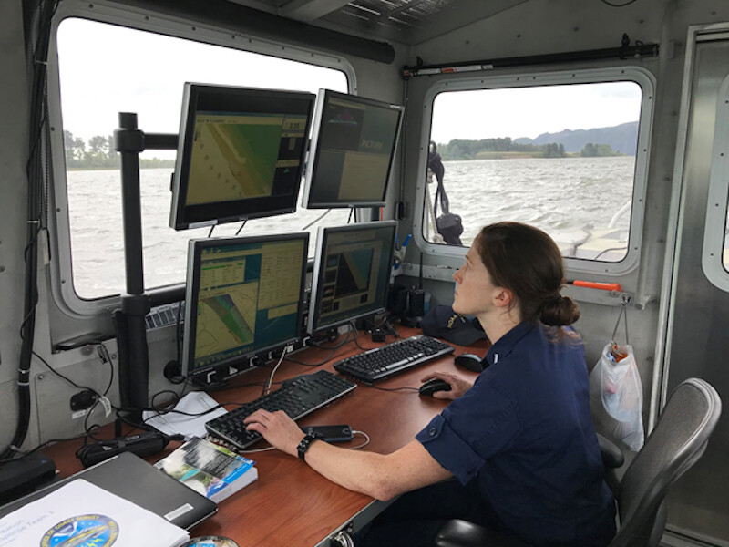
With the delivery of the database, the Coast Guard will now transition its delivery of MSI from referencing the National Oceanic and Atmospheric Administration (NOAA) paper chart identification name/number to the harmonized waterway name.
“The transition away from paper charts and manual application of MSI to electronic charts allows the Coast Guard to improve our delivery of critical safety information to the mariner and represents a major milestone in our efforts to implement the CMTS Strategic Implementation of e-navigation,” said Mike Emerson, the Coast Guard’s director of Marine Transportation Systems.
“The Harmonized Waterway project will help immensely as we transition away from traditional paper charts and focus on electronic charts as the primary product for navigation,” said NOAA Adm. Benjamin Evans, director of NOAA Office of Coast Survey. “Working in concert with other agencies helps us do this in an efficient, unified manner.”
“The Harmonized Waterway program is a major leap forward for the U.S. Marine Transportation System and its ability to provide mariners with the best information for navigating our waterways. The success of this project also highlights the importance of our interagency collaboration and partnerships, and the CMTS has been a proud supporter of this project since its inception,” said Helen Brohl, executive director, CMTS.
Another benefit the Harmonized Waterway data affords the maritime community is to deconflict and synchronize names and abbreviations for rivers, bays and landmarks, which can differ between local, state, and federal agencies.
“The database is much more agile and can be updated and made available to mariners electronically much more quickly than paper charts,” said David Paquette, S&T Maritime Safety and Security program manager.
The Coast Guard is coordinating the release of its revised Local Notice to Mariner reports with NOAA and anticipates the transition will begin in 2023.