


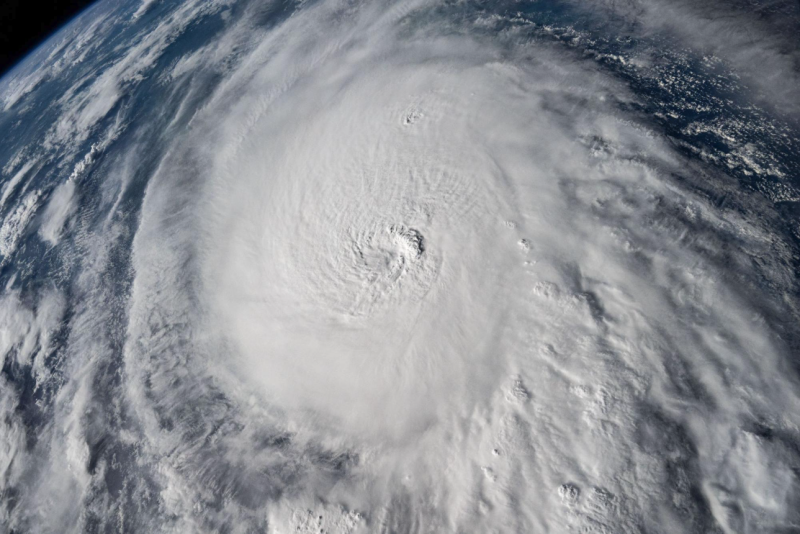
The 2025 Atlantic hurricane season kicked off on June 1, and forecasters at NOAA’s National Weather Service are predicting above-normal activity driven by unusually warm ocean temperatures and other climate factors.
In its official seasonal forecast, NOAA estimates a 60% chance of an above-normal hurricane season, a 30% chance of a near-normal season, and just a 10% chance of below-normal activity. The Atlantic hurricane season runs through November 30.
NOAA projects 13 to 19 named storms this season, with 6 to 10 becoming hurricanes, including 3 to 5 major hurricanes of Category 3 or higher. These forecasts come with 70% confidence, based on data from some of the most advanced weather models and forecasting tools available, according to NOAA.
“NOAA and the National Weather Service are using the most advanced weather models and cutting-edge hurricane tracking systems to provide Americans with real-time storm forecasts and warnings,” said Commerce Secretary Howard Lutnick. “With these models and forecasting tools, we have never been more prepared for hurricane season.”
The forecast is shaped by multiple overlapping factors. Warmer-than-average ocean temperatures, a weak West African Monsoon, and reduced wind shear are expected to create ideal conditions for tropical storm formation and development, forecasters said. These are all indicators of what NOAA refers to as the ongoing "high-activity era" in the Atlantic Basin.
Last year's above-average Atlantic hurricane season, which included 18 named storms, caused significant disruption to U.S. energy infrastructure, primarily on the Gulf Coast and in the Southeast. Several hurricanes forced oil and natural gas producers to pause production from fields in the Gulf of Mexico, currently referred to as the Gulf of America by the U.S. government.
Hurricanes also disrupt commercial navigation, sometimes damaging port infrastructure, halting barge traffic due to flooding and debris, and delaying cargo operations.
“As we witnessed last year with significant inland flooding from hurricanes Helene and Debby, the impacts of hurricanes can reach far beyond coastal communities,” said Acting NOAA Administrator Laura Grimm. “NOAA is critical for the delivery of early and accurate forecasts and warnings, and provides the scientific expertise needed to save lives and property.”
“In my 30 years at the National Weather Service, we’ve never had more advanced models and warning systems in place to monitor the weather,” said NOAA’s National Weather Service Director Ken Graham. “This outlook is a call to action: be prepared. Take proactive steps now to make a plan and gather supplies to ensure you're ready before a storm threatens."
This year, NOAA is introducing upgraded systems and tools to improve the accuracy of forecasts and the clarity of communications. The Hurricane Analysis and Forecast System is being enhanced to improve storm tracking and intensity forecasts by 5%. Tropical cyclone advisories can now be issued up to 72 hours before potential landfall, giving communities more time to prepare. The Global Tropical Hazards Outlook has been extended to a three-week forecast window, offering earlier warnings of potential cyclone activity.
The next update to the forecast will come in early August, just ahead of the historical peak of the Atlantic hurricane season.