The last time inshore areas of California’s Channel Islands were charted, surveyors were still dropping lead lines in the 1930s.
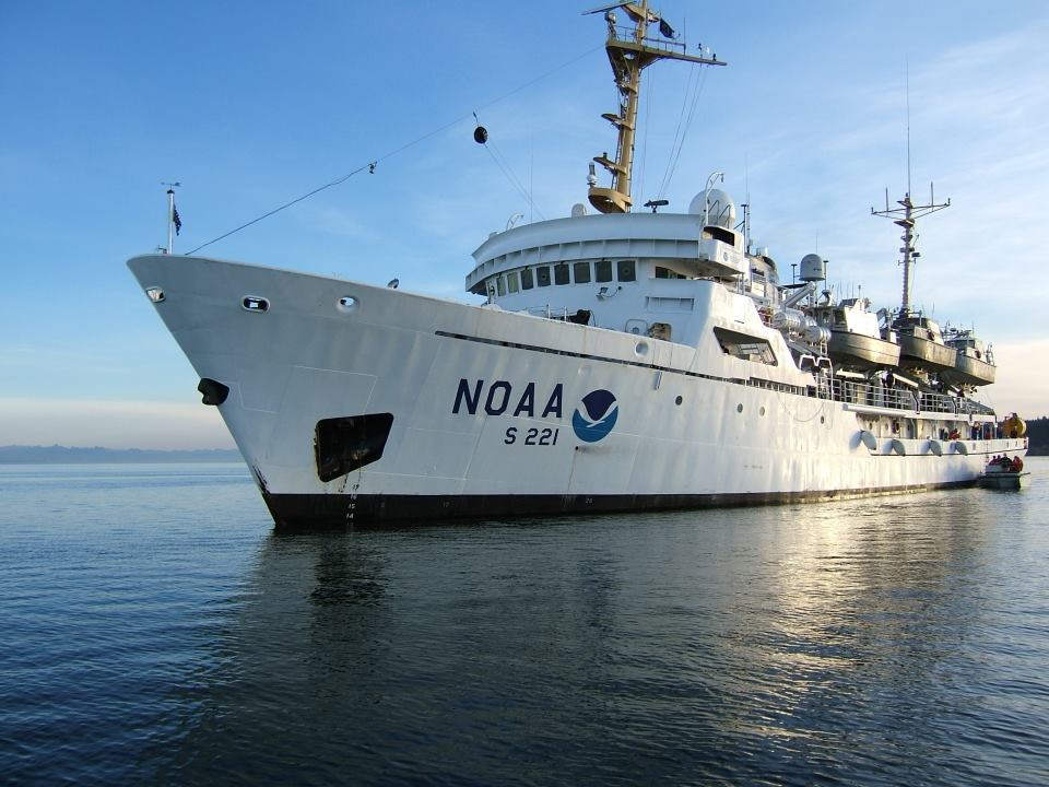
This week the National Oceanic and Atmospheric Administration survey ship Rainier arrived to complete a comprehensive Southern California charting initiative to help mariners navigate safely, and help natural resource managers make decisions.
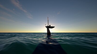
The 231’x42’x17’ Rainier carries a quartet of survey launches. Those are boats for shallow water work, built for NOAA in a 30’ version by All American Marine, Bellingham, Wash., and based on an original design by Jensen Maritime Consultants, Seattle, or by Willard Marine, Anaheim, Calif., a 28’ design originally acquired from SeaArk.
The work started around San Miguel Island, westernmost of the chain off Point Conception and the Santa Barbara Channel and part of the Channel Islands National Marine Sanctuary.

A NOAA survey launch at work near the Channel Islands. NOAA photo.
Up until 2014, half of the sanctuary was not charted in enough detail to help sanctuary managers make decisions for protecting marine habitat and wildlife. That led to the Southern California Seafloor Mapping Initiative, which used locally based NOAA vessels carrying sonar designed for fisheries research and help from other state and federal agencies. The NOAA Coast Survey also employed an autonomous underwater vehicle (AUV) to gather data on the sanctuary’s deep sea coral areas.
Surveys around the islands led to discovering the long lost wreck of the McCulloch, a historic Coast Guard cutter that was lost in a 1917 collision with a passenger steamship. The 219’x33.4’ revenue cutter was found and surveyed by a joint Coast Guard-NOAA team in October 2016, using the Shearwater, NOAA’s local research vessel for the Channel Islands sanctuary.
During this next four-week phase, the Rainier will deploy its survey launches to collect data in the island shallows, Before the survey operations started, one small boat crew of four performed an inshore reconnaissance to determine safety limits for charting, looking for rocks or thick kelp beds that could pose hazards at low tide – and could have been completely missed by the 1930s surveys.
Other preparations included locating a safe anchorage for the Rainier, and testing its sonar backscatter collection capabilities. The sonars were installed on the 30’ launches a few weeks before the deployment, so crews needed to calibrate the systems for operation in the sanctuary, and ensure the backscatter imagery would be consistent between the four survey launches.
Over the coming four weeks the Rainier crew will survey the near-shore areas of the sanctuary.
“The technology we have today enables us to improve our nautical charts and navigation safety while at the same time providing the critical habitat data the sanctuary needs to manage its resources,” said Cmdr. Ben Evans, the Rainier’s commanding officer, in an online update posted Wednesday.